|
|
Broad Ripple Random Ripplings


The news from Broad Ripple
Brought to you by The Broad Ripple Gazette
(Delivering the news since 2004, every two weeks)

|
| Brought to you by: |

|

|

|

|

|

|
Converted from paper version of the Broad Ripple Gazette (v05n24)
White River levee project update - By Mario Morone
posted: Nov. 21, 2008
"Phase 3B and 3C of the White River, Indianapolis North Flood Damage Reduction Project continues from the South Warfleigh area along Kessler Boulevard southward to Butler University. Phase 3A was completed in 2004 that involved renovating the existing Warfleigh levee along Riverview Drive. These projects are hydraulically linked, necessitating construction of all phases to successfully protect about 2,400 properties from the 100-year floodplain.
White River Flood Damage Reduction Project Map
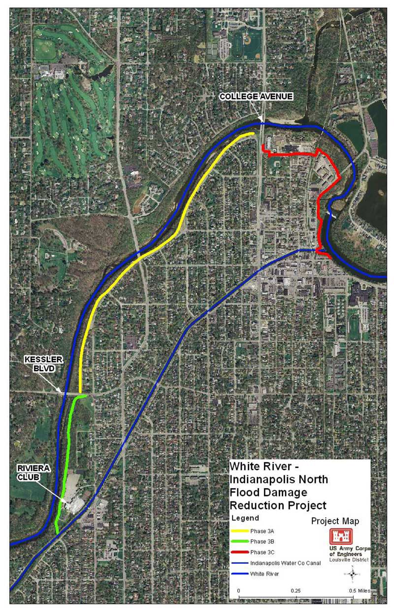
image courtesy of USACE
"The 100-year level of protection is a statistical probability that the floodwalls would be overtopped by flood waters one time per century. The floodwalls will be constructed to a height at which there is only about a one percent chance each year that they would be overtopped by flood waters," explained Michael Q. Holley, Project Manager with the U.S. Army Corps of Engineers (USACE) Louisville District.
The USACE has chronicled White River's flood history. The flood of record for White River in the Indianapolis area in March of 1913 was a 500-year event. However, major floods have also occurred in 1937, 1943, 1957, 1958 and 1964.
The most recent flood of significance was in January of 1991. Estimated as a 15-year flood event, it forced evacuation of 500 homes in Marion County and caused extensive property damage. The flooding interrupted utility service to thousands of homes, damaged numerous roadways that impaired public access and resulted in several life threatening injuries.
During this flood, water came through and under the Warfleigh levee. Engineering studies conducted in response to this flood and determined that the existing levee would breach before it was overtopped. This would create a catastrophic situation, possibly resulting in loss of life, since there would be little or no warning. In January of 2007, the river remained above flood stage for a period of eight days.
"As a result of past flooding problems along the White River in the northern Indianapolis communities, the USACE initiated a study in the early 1990s to investigate the feasibility and the extent of Federal interest in providing flood damage reduction measures for those neighborhoods," Holley said.
"The study was conducted in two phases consisting of a Reconnaissance Phase, performed at full Federal expense and was followed by a Feasibility Phase, with the cost shared equally between the Federal Government and non-Federal sponsor, the City of Indianapolis. The USACE conducted the Reconnaissance Study between May of 1991 and July of 1992. This small screening-level study determined there was at least one economically feasible solution to flooding problems in the area. The Feasibility Study was completed in September of 1996. This larger study included a final recommended plan for construction of a floodwall and earthen levee along the White River's east bank in the Broad Ripple and Warfleigh neighborhoods," he mentioned.
Holley described the levee's operation: "The 'sliding levee walls' are gates that will close street and pedestrian openings in the floodwall just prior to extreme high water events. The gates will also be operated for short periods during final installation, periodic testing and maintenance of the closures. The Broad Ripple section of the floodwall will be completed by the summer of 2009. If funding permits, the final South Warfleigh section of the project (Phase 3B) will be constructed from Kessler Boulevard southward to high ground in the vicinity of Butler University beginning in 2010 and scheduled for completion in late 2011. All sections of the floodwall must be completed to provide a 100-year level of protection. The total estimated project cost is approximately $30 million, which is shared with the City of Indianapolis paying 25 percent ($7.5 million) and the Federal government paying 75 percent ($22.5 million)," Holley added.
"When the community asks the government for assistance to protect their homes and business against flooding, before we can help, we determine if there is an economic benefit - that the benefits by doing so exceed the cost of the project. In this case, there are substantial benefits to provide better flood protection to the 2,400 residences (in Broad Ripple, Warfleigh and Butler-Tarkington neighborhoods) to the 100-year level of protection," said Carol Labashoksy, USACE Public Affairs Specialist.
The levee wall along Westfield Boulevard. The American Legion Post can be seen in the distance.
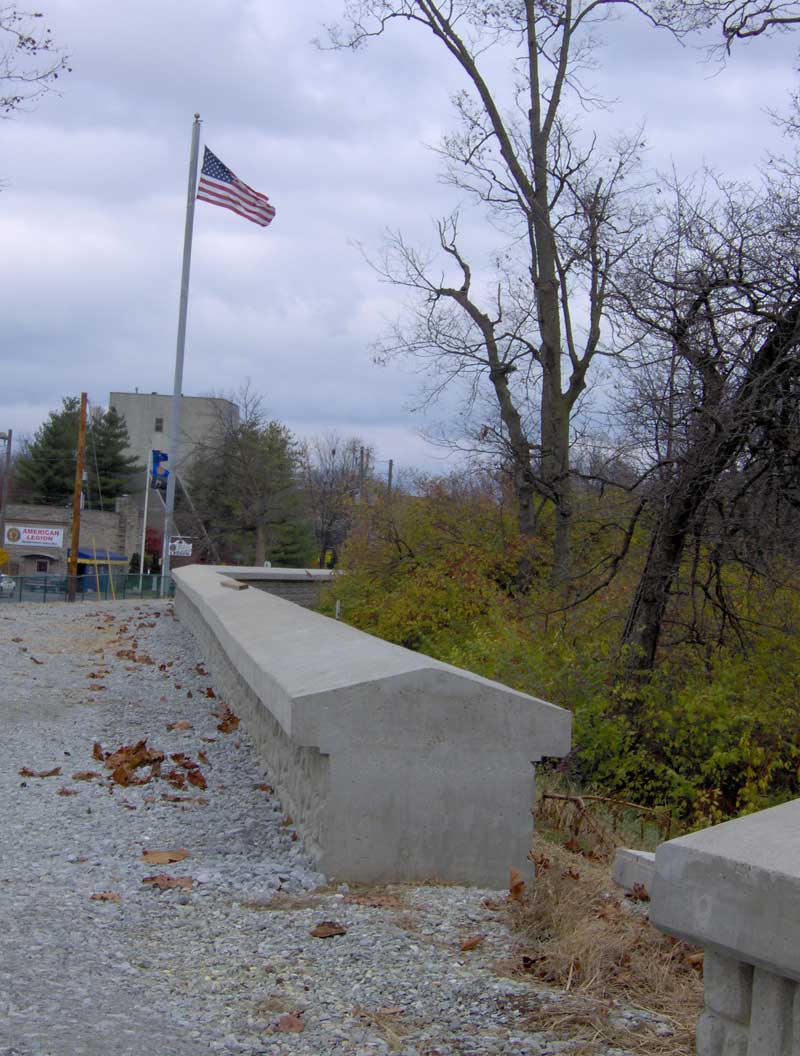
image courtesy of Mario Morone
| Brought to you by: |

|
|
|
According to USACE's general project description, upon acceptance of the floodwall by the Federal Emergency Management Agency (FEMA), flood control district development restrictions may be reduced or removed for the neighborhoods. Additionally, FEMA accreditation may reduce or eliminate flood insurance requirements for property owners.
Laurie Smith-Kuypers, a spokeswoman for external affairs at the National Flood Insurance Program in Orland Park, Illinois, explained, "If the project is certified by USACE, accredited by FEMA and meets all of the 100-year federal flood regulations, the existing flood zones and insurance premiums will be changed. It has to go through an accreditation process." She emphasized that this will be determined after the project is completed.
Broad Ripple, Butler-Tarkington, Meridian-Kessler and Warfleigh neighborhoods stand to benefit from the White River Levee Project.
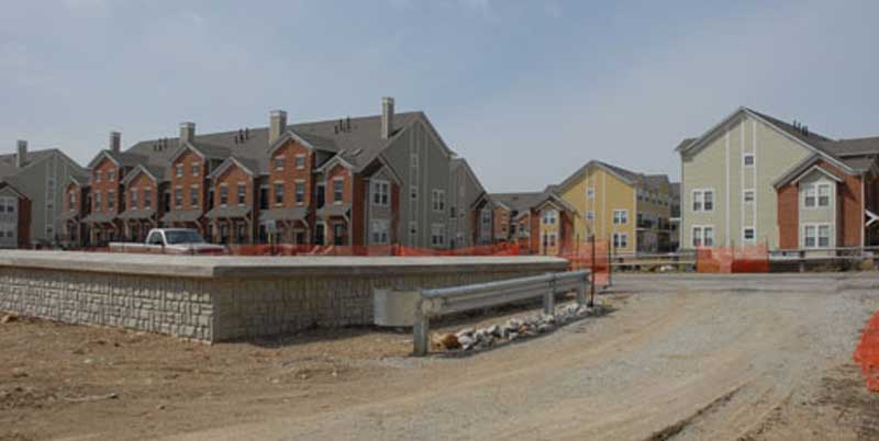
image courtesy of Mario Morone
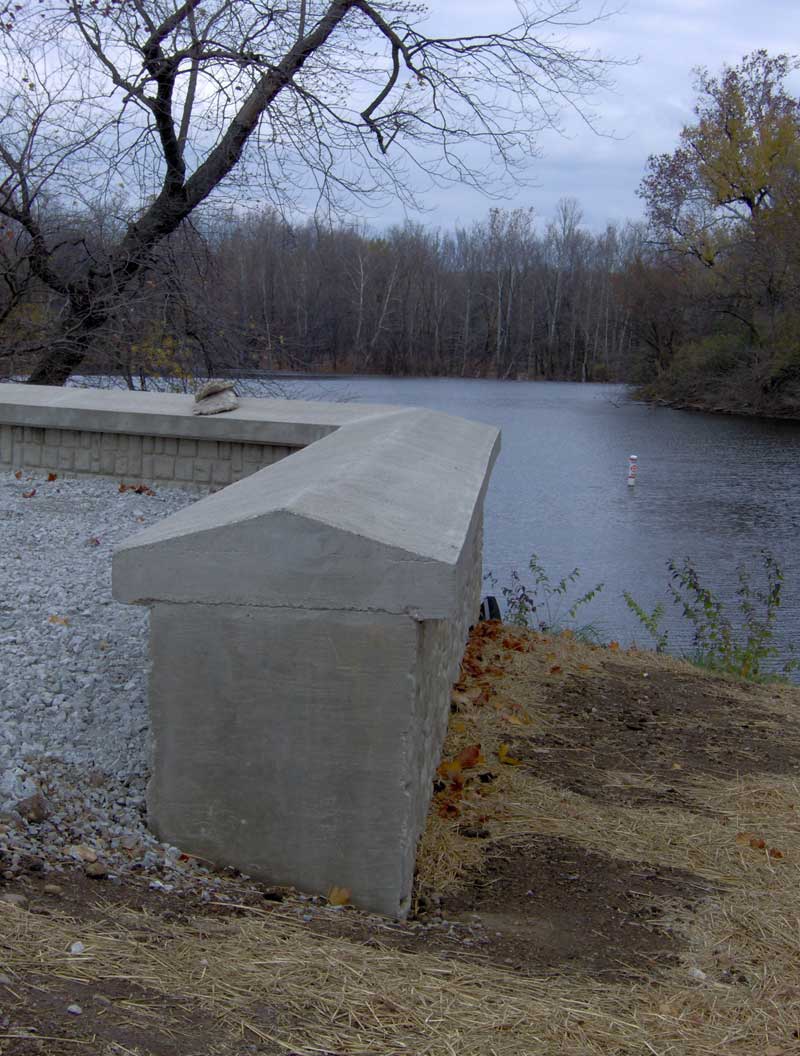
image courtesy of Mario Morone
| Brought to you by: |
|
|

|
|
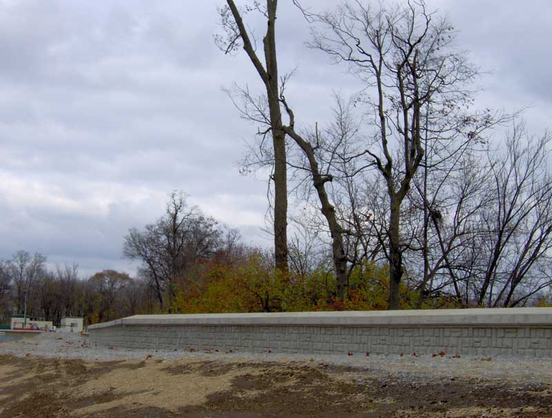
image courtesy of Mario Morone
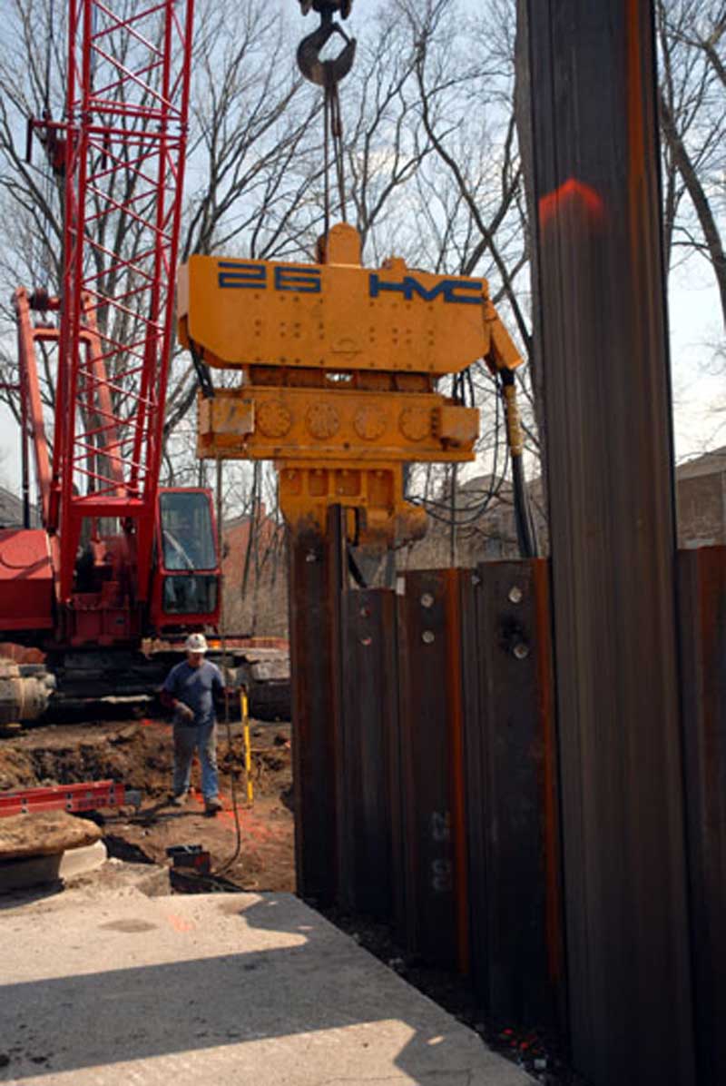
image courtesy of Mario Morone
| Brought to you by: |
|
|
|
|
mario@broadripplegazette.com
|
|
|
|
| Brought to you by: |
|
||||
|
Copyrighted Property Of Broad Ripple Publishing
Site terms Broad Ripple Random Ripplings is hosted at Ionos.com |
||||

